Radar Loop
NE Radar Loop
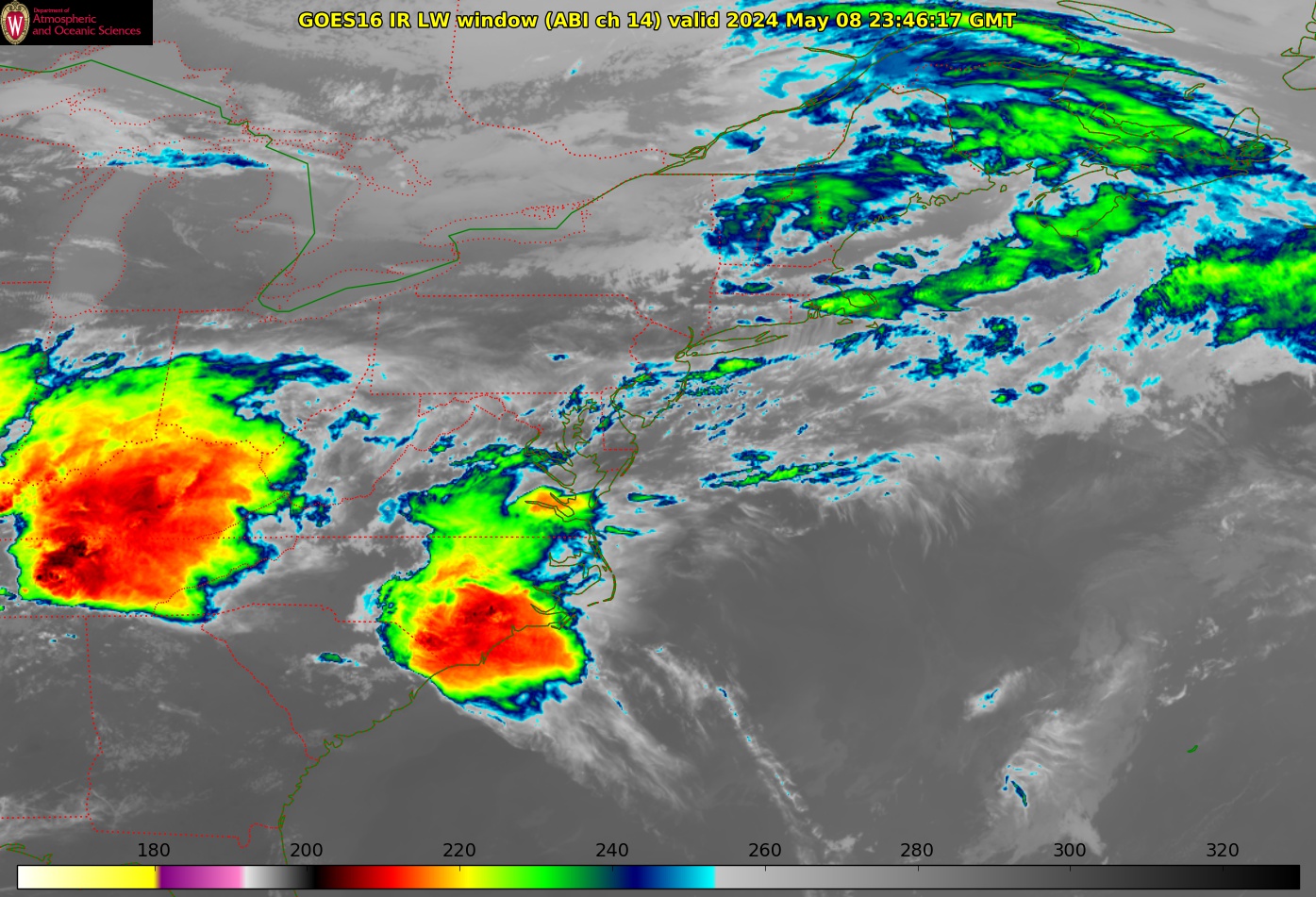
GOES16 IR
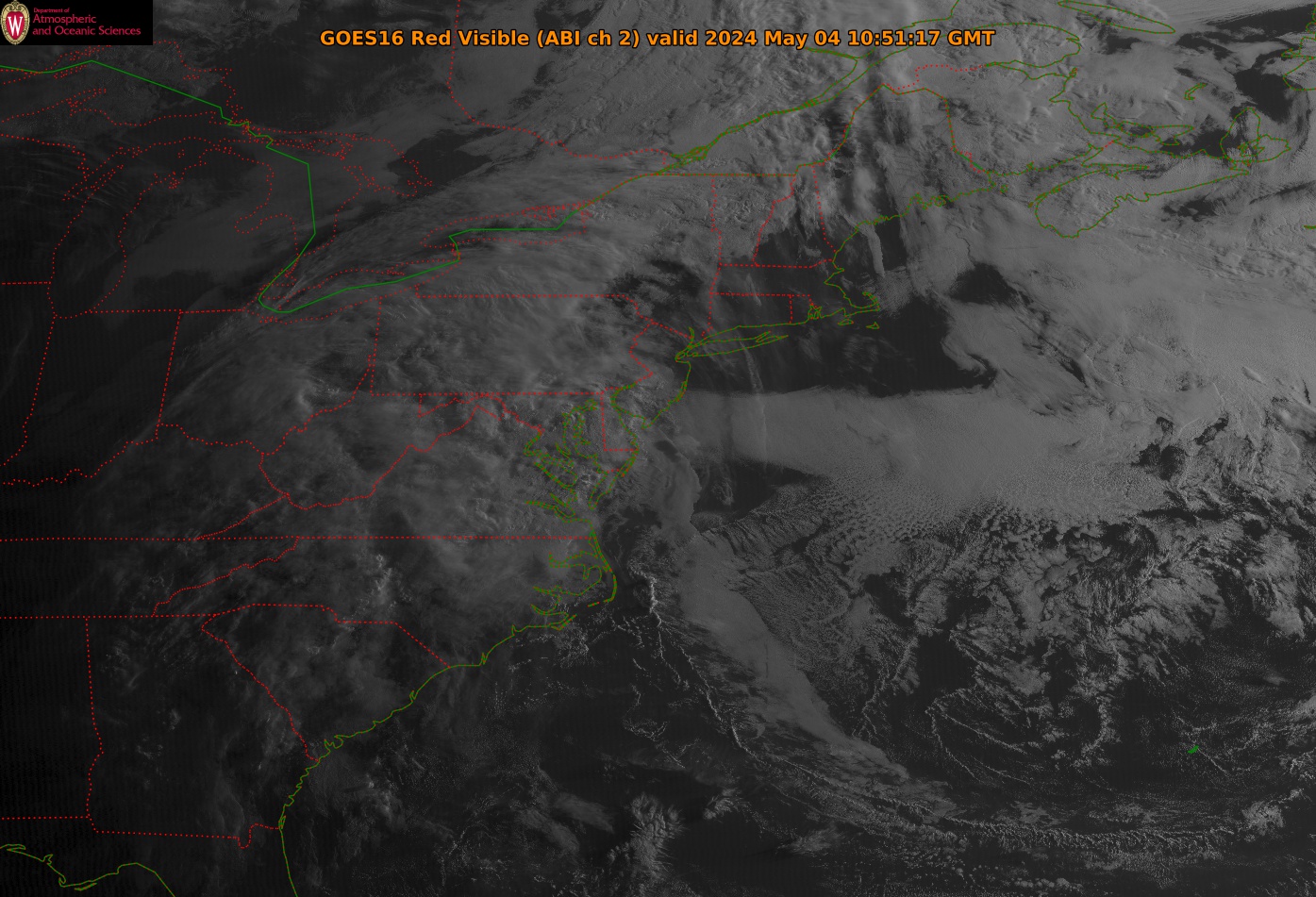
GOES16 Visible
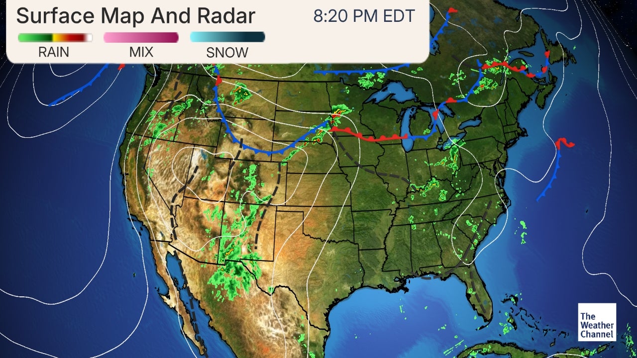
Current Surface Map
Fox25 7-day Forecast
WxUnderground - Cape Ann
GOES16 VIS Frame
Tropical Tidbits
AccuWx Doppler
GOES-16 NE Dashboard
Pivotal Weather
U. Wisc. NE Composite
GOES16 Visible Loop
Zoom Earth
TWC
MODIS
College of DuPage
LIVE Wind
EarthWind
NE Lightning Map
GOES16 IR Frame
0 - 4 Day NAM Meteo
Alt. Lightning Map
GOES16 UL WV
0 - 10 Day GFS Meteo
WCVB Interactive
GOES17 IR Frame
4 Day GFS IGES
U. Wisc. GOES Desk
NE NWS GIS Maps
INTEL Atlantic Satellite
WPC Winter Weather
NWS BOX Winter
NWS Loop (MA)
GOES-16 New England
NERFC Snow Page
NWS Loop (ME)
GOES-16 NE Dashboard
Current Jet Stream
CIRA Slider / RAMMB
GOES 17 West
Jet Stream Forecast
NWS Northeast
Aviation Satellite
COD Interactive
Clear Sky Charts
Temperature
--
Wind Chill
Accuweather
INTEL Atlantic Satellite
Wind
|
Dew Point
U. Wisc.- NE Flash Loop
Sea Level Pressure
WCVB Interactive
Storm Prediction Center
Mt. Washington OBS
Weather Prediction Center
Thacher Island W/U
IntelliCast Interactive
Climate Prediction Center
CONUS Radar
NWS Enhanced HWO
Current NE Map
UNISYS NE
Wx Underground
Intel 12hr NE Map
Wx Underground
IntelliCast
Intel 24hr NE Map
NWS CONUS Radar
The Weather Channel
Intel 36hr NE Map
About Doppler & NexRad's
Accuweather
Intel 48hr NE Map
NWS Online Wx School
Boston Almanac
Current CONUS Map
BOS Area Products
Area Observations
Forecast Discussion
Current Summary
Tide Cycle Graph
NE Rivers Center MA
Sea (SST) Analysis
Forest Fire Information
NE Area Offices
Boston / Norton
Albany, NY
Burlington, VT
Portland, ME
Eastern Region
Area Airports
Beverly (BVY)
Logan (BOS)
Bedford (BED)
Worcester (ORD)
Nantucket (ACK)
Portsmouth (PSM)
Hartford (BDL)
NYC (JFK)
©1999-2026 All rights reserved
Cape Ann Weather
Contact Us